
Oceania Choropleth (by province)
The provinces, states and regions of Oceania shaded by a measure, from a province column or from cities that roll up to their province.
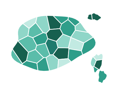
An illustration of the type, not a chart made from data.
When it fits
Use it for a measure by Australian state and territory or by New Zealand region, where the national figure hides most of what you want to see. Each region is shaded by one measure. Rows can carry the region, by name or ISO code, or cities, which are added up into their region.
When it doesn't
Australia's states are few and very different in size, so a filled map says more about area than about the numbers; with rates the comparison is fair, with totals a bar chart is clearer. A row whose region isn't recognized leaves it blank, so codes are the safer key.
The data it needs
Best for metrics by province, state or region in Oceania, or by city when you want the cities summed into their provinces (keyed to province names, ISO codes or city names).
Smallest size it draws at: 294 by 300 pixels.
How to ask for it
Pick Oceania Choropleth (by province) from the list of what fits your data, or describe it in your own words:
- “Shade Australian states and New Zealand regions by sales”
- “Roll our city data up to state and map it across Oceania”
Try it
Start with your own data in Power BI or Excel, or build it into your own app through the MCP server. Each one lists the types that fit your data before it builds anything.