
North America Choropleth (by province)
The provinces, states and regions of North America shaded by a measure, from a province column or from cities that roll up to their province.
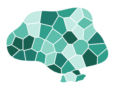
An illustration of the type, not a chart made from data.
When it fits
Use it when your business runs across borders and you want US states, Canadian provinces and Mexican states on one map, shaded by one measure. Rows can name the state or province, by name or code, or name cities, which are added up into their state or province.
When it doesn't
If every row is in the United States, the USA Choropleth (by state) frames the country better and gives Alaska and Hawaii a readable place. Names that can't be matched leave their region blank, so codes are the safer key. Totals favor the big regions; rates compare more fairly.
The data it needs
Best for metrics by province, state or region in North America, or by city when you want the cities summed into their provinces (keyed to province names, ISO codes or city names).
Smallest size it draws at: 294 by 300 pixels.
How to ask for it
Pick North America Choropleth (by province) from the list of what fits your data, or describe it in your own words:
- “Shade states and provinces across North America by sales”
- “Roll our city-level shipments up to state or province and map them”
Try it
dataset Try it with North America City Metrics — 21 Cities with CoordinatesNot in apps built through the MCP server, which doesn't draw province maps.
Start with your own data in Power BI or Excel, or build it into your own app through the MCP server. Each one lists the types that fit your data before it builds anything.